Earth Science and Engineering
Surface fractures as magma moves
Surface deformation caused by magma rising within the crust may in turn have prevented a volcanic eruption in Saudi Arabia.


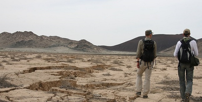
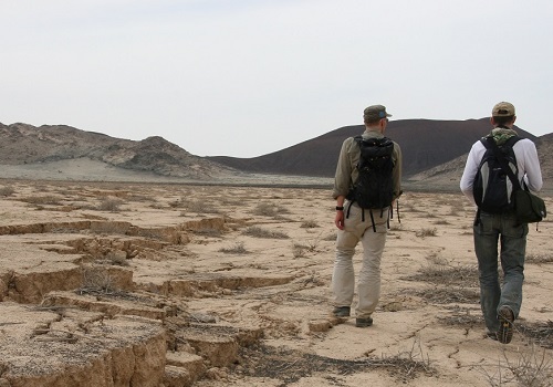
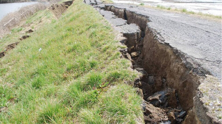
KAUST researchers at the site of the volcanic unrest in Harrat Lunayyir, Saudi Arabia. The team believes that fracturing and subsidence on the surface caused by magmatic activity below actually prevented a volcanic eruption taking place in 2009.
© 2016 Sabrina Metzger
A rare period of volcanic unrest in the rural Harrat Lunayyir region of Saudi Arabia in 2009 allowed KAUST researchers to piece together details of how activity within the crust can interact with the land surface. These insights may help inform predictions for regions under threat of potential volcanic activity, such as the Saudi city of Medina.
The movement of magma beneath the Earth’s surface increases the chances of earthquakes and volcanic activity and can trigger significant land surface deformation. Such activity largely occurs where continental plates are separating, which usually occurs deep under the sea where it is difficult to monitor the activity. As a result, scientists are unsure precisely how magmatic activity, faults and surface stresses interact.
“The short but intense period of earthquake activity in Harrat Lunayyir led to the evacuation of 40,000 people,” explained Sigurjón Jónsson from the University’s Physical Science and Engineering Division. Jónsson worked on the project with KAUST Ph.D. graduate Wenbin Xu and scientists from Italy. “After six weeks of increasing earthquakes the area went quiet—the magmatic activity had stalled and no eruption occurred, but we didn’t know why.”
Jónsson’s team used interferometric synthetic aperture radar (InSAR) satellite images and found a few snapshots of the area taken during the six weeks. Although these were not all high-resolution pictures, they were sufficient to begin to unravel what had happened.
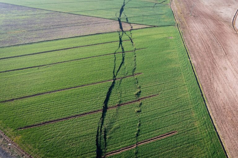
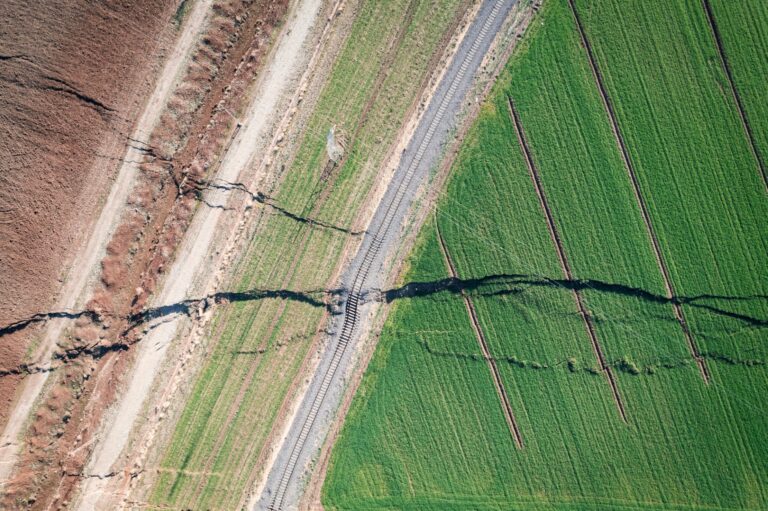
The images revealed fracturing and faulting on the land surface and the formation of a “graben”—a wedge-shaped piece of land that had subsided between two fault lines. Jónsson’s team also visited the site to observe the deformation first-hand.
“By enhancing the InSAR data, we generated computer models to verify what happened beneath the surface,” Jónsson said. “Our results show that a dike a few meters thick—molten magma rising in a vertical sheet through cracks in the rocks—came within two kilometers of the surface in the first month. The dike then rapidly increased in volume over a few days and came within a kilometer of the surface. The associated stresses formed the graben.”
The researchers replicated the scenario in a sandbox experiment and found an artificial dike created the same surface deformation patterns. Interestingly, the team believes that the stresses caused by the graben and faulting actually caused the dike to stall, preventing a volcanic eruption.
This study provides a rare insight into subsurface and surface interactions during volcanic unrest and could inform predictions for other geologically-active areas.
References
- Xu, W., Jonsson, S., Corbi, F. & Rivalta, E. Graben formation and dike arrest during the 2009 Harrat Lunayyir dike intrusion in Saudi Arabia: Insights from InSAR, stress calculations and analog experiments. Journal of Geophysical Research: Solid Earth 121, 2837–2851 (2016).| article
You might also like
Earth Science and Engineering
Carbon sequestration for arid regions overcomes water constraints
Earth Science and Engineering
Asymmetric surface deformations reveal ongoing processes after earthquakes

Earth Science and Engineering
Depleted oil fields offer hydrogen storage sites
Earth Science and Engineering
When Earth breaks the “rules”
Earth Science and Engineering
Unearthing Arabia’s ancient foundations: New insights from the Ha’il terrane
Earth Science and Engineering
Sensing color cues to monitor coral health in the Red Sea
Earth Science and Engineering
Kahramanmaraş earthquake study showcases potential slip rate errors
Chemical Engineering