Earth Science and Engineering
An ocean 13 million years in the making
A detailed analysis combining seafloor mapping and earthquake and gravity data shows that the oceanic crust under the Red Sea is older than previously thought.


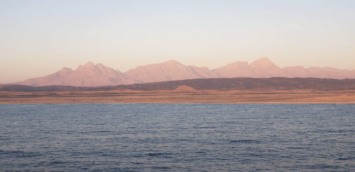
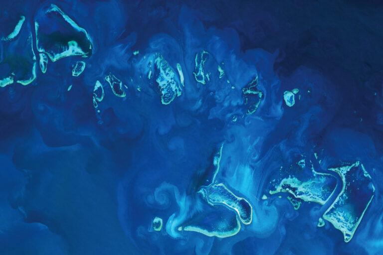
The international team combined VGG data with high-resolution seafloor maps, rock chemistry and earthquake data to gain a comprehensive overview of the basin. © 2021 KAUST; N. Agustin /en/article/1129/an-ocean-13-million-years-in-the-making
The international team combined VGG data with high-resolution seafloor maps, rock chemistry and earthquake data to gain a comprehensive overview of the basin. © 2021 KAUST; N. Agustin /en/article/1129/an-ocean-13-million-years-in-the-making
Spreading of the seafloor in the Red Sea basin is found to have begun along its entire length around 13 million years ago, making its underlying oceanic crust twice as old as previously believed.
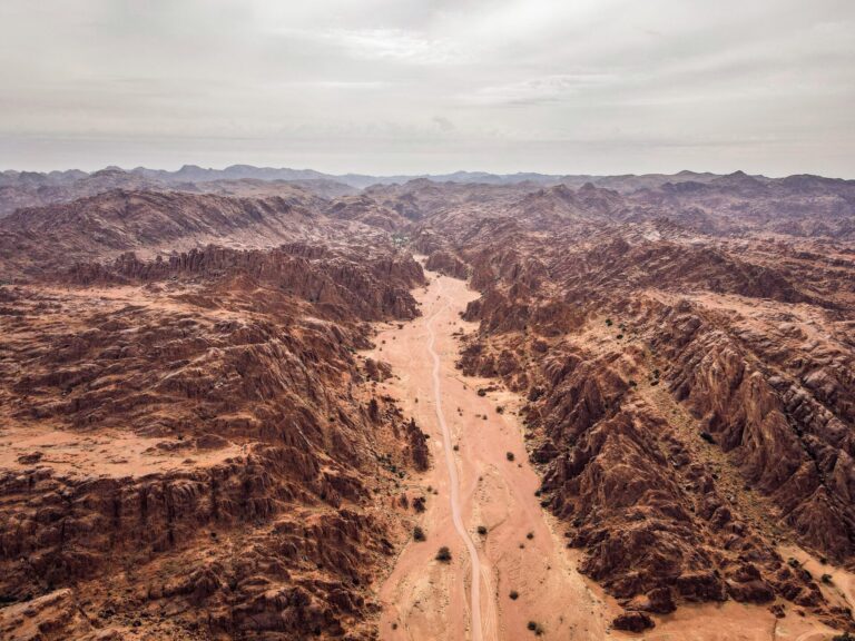
The formation history and age of the Red Sea basin has long been contested, largely because the crust under the sea is widely overlain by thick layers of salt and sediment, making it difficult to observe directly.
“Existing geological models of the Red Sea often contradict each other, largely due to limited high-resolution data and the influence of overlaying salt layers,” says Froukje van der Zwan from KAUST, who worked on the project. “For example, magnetic methods do not work well because of the salt layers, where lava erupting under the salt blankets develops significantly different magnetic signatures than those from other oceans.”
“We decided to start afresh without preconceptions and make use of gravity and earthquake data, which allowed us to ‘see through’ the salt layers to the crust beneath,” explains van der Zwan.
Areas of thick crust, such as mountains and volcanoes, and denser rock types have a high gravity index, and oceanic crust displays different gravity properties compared with continental crust. These differences are mapped by satellites monitoring the gravitational field of the Earth, and the resulting “vertical gravity gradient” (VGG) data are readily available.
The international team combined VGG data with high-resolution seafloor maps, rock chemistry and earthquake data to gain a comprehensive overview of the basin. Their results indicate that the Red Sea has the fairly simple geological structure of a young ocean, with large volcanoes running the length of the slow-spreading rift. These features are typical of mid-ocean ridges around the world and suggest that the entire Red Sea is not a young sea, but rather a maturing “teenage” ocean basin of around 13 million years old.
“Most of the basin is underlain by oceanic crust, and the continental crusts on either side are further apart than previously indicated,” says van der Zwan.
The new model explains features found in the northern Red Sea that are unaccounted for in earlier models. Furthermore, dating the spreading of the seafloor changes the understanding of the region’s geological history and could help researchers better understand the formation of other oceans, such as the South Atlantic.
“With a stronger sense of where the earth plate boundaries are, we may improve our understanding of regional seismic activity,” says van der Zwan. “Our model will enable us to conduct detailed studies of the ocean crust, active fault systems and the volcanic explosion craters that we found.”
References
- Augustin, N., van der Zwan, F.M., Devey, C.W. & Brandsdóttir, B. 13 million years of seafloor spreading throughout the Red Sea Basin. Nature Communications 12, 2427 (2021).| article
ABOUT THE AUTHOR
Froukje van der Zwan
Assistant Professor

You might also like
Earth Science and Engineering
Carbon sequestration for arid regions overcomes water constraints
Earth Science and Engineering
Asymmetric surface deformations reveal ongoing processes after earthquakes

Earth Science and Engineering
Depleted oil fields offer hydrogen storage sites
Earth Science and Engineering
When Earth breaks the “rules”
Earth Science and Engineering
Unearthing Arabia’s ancient foundations: New insights from the Ha’il terrane
Earth Science and Engineering
Sensing color cues to monitor coral health in the Red Sea
Earth Science and Engineering
Kahramanmaraş earthquake study showcases potential slip rate errors
Chemical Engineering