Energy Resources and Petroleum Engineering
Modeling complex faults on the Sinai-Arabia plate boundary
Detailed 3D simulations of the Lebanon Restraining Bend will enhance understanding of fault structures and associated seismic activity.


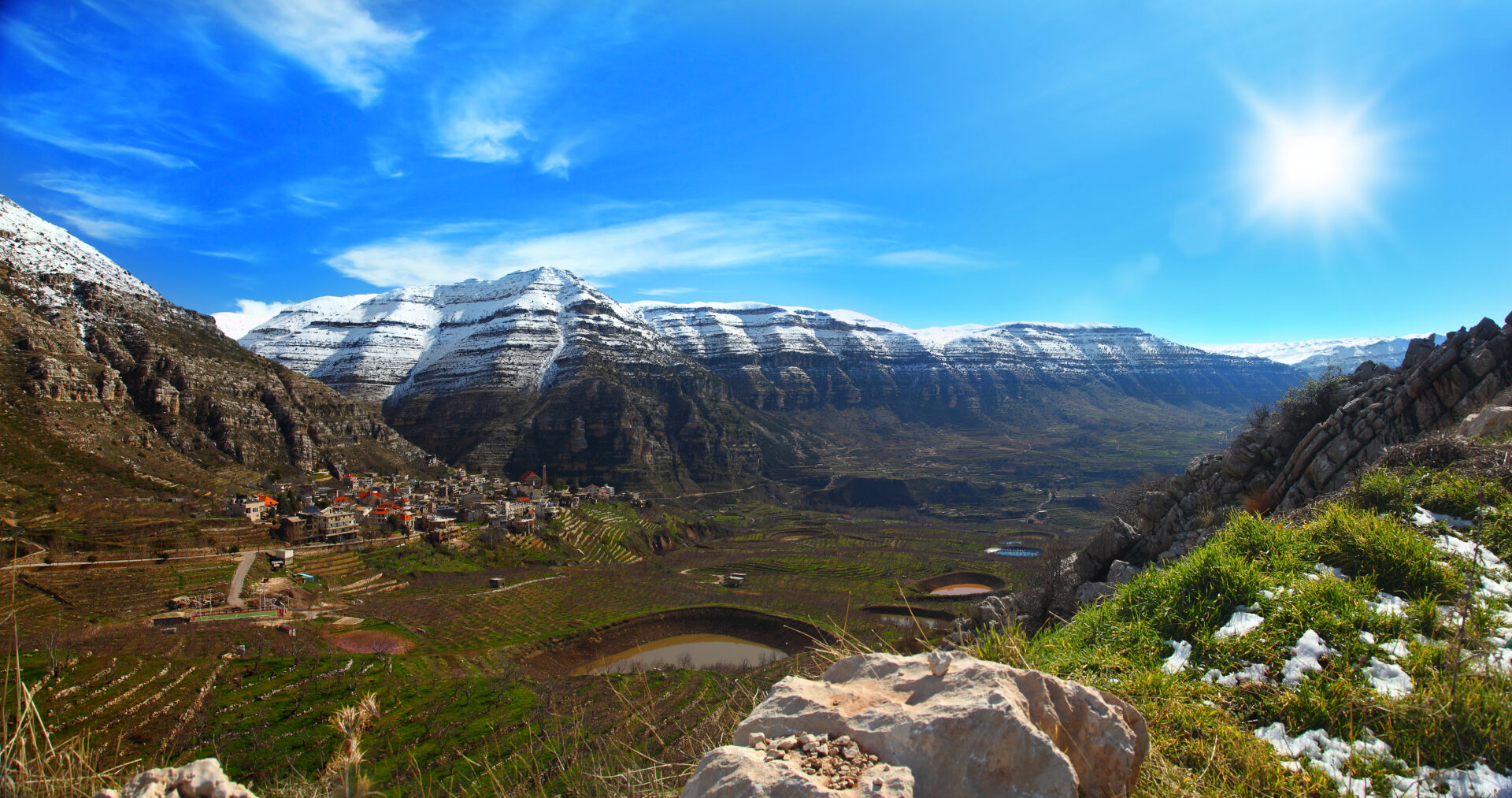
The most detailed model of part of the active plate boundary between Sinai and Arabia has been developed by KAUST researchers. The numerical model accurately represents the structure of the Lebanon Restraining Bend and proposes its tectonic evolution from the Late Jurassic to the present day.
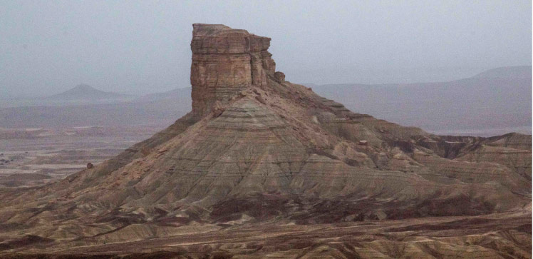
The Lebanon Restraining Bend comprises the Mount Lebanon and Anti-Lebanon ranges. The area forms a central part of the Dead Sea Transform (DST).
“The DST is an active ‘strike-slip’ plate boundary similar to the San Andreas Fault, where tectonic plates are sliding past each other,” says Jakub Fedorik, who worked on the project under the supervision of Abdulkader Afifi. “This results in complex geological features and seismic activity.”
While Fedorik was studying faults in the DST for another project, he discovered that many of the faults he identified were not mentioned in previous publications.
“I realized that a refined interpretation of the region’s fault systems could have a real impact on the current knowledge of strike-slip faults,” says Fedorik. “The Lebanon Restraining Bend is one of the best examples of this type of structure in the world, and a new model could provide insights for other strike-slip fault structures.”
To ensure the model was as accurate and detailed as possible, Fedorik used data and insights from multiple sources. The 3D geomechanical model uses fault data together with surface and subsurface data from previous research, structural maps, satellite images, digital elevation models and measurements from physical “sandbox” models.
“It took several weeks to interpret all the faults and construct their subsurface geometry; on top of that, I did not know if the software would be able to run such a complex model,” says Fedorik. “I had to run hundreds of simulations, and I was excited as the initial results appeared. Thankfully the high-spec workstation I was given at KAUST was capable of running one simulation every 30 minutes — on standard computers each run would have taken 12 hours.”
The new model analyzes the entire fault segment, which has never been performed before with such detailed fault geometries. Such numerical simulations are crucial for understanding potential earthquake hazards along the DST. Fedorik hopes that this and subsequent research will provide valuable insights for the NEOM city project, which lies near the southern segment of the DST.
Reference
- Fedorik, J., Maesano, F.E. & Afifi, A.M. A validated geomechanical model for the strike-slip restraining bend in Lebanon. Scientific Reports 12, 20071 (2022).| article
ABOUT THE AUTHOR
Jakub Fedorik
Research Scientist

You might also like

Energy Resources and Petroleum Engineering
Stylolites complicate sound wave propagation in sedimentary rock samples
Energy Resources and Petroleum Engineering
Exploring the evolution of the Red Sea’s carbonate platforms

Applied Mathematics and Computational Sciences
Measuring the impact of desert greening
Applied Mathematics and Computational Sciences
Data-driven regional ocean models essential for planning

Chemistry
Laser treatment boosts battery performance
Energy Resources and Petroleum Engineering
Seeing through sediment reveals Red Sea tectonics
Energy Resources and Petroleum Engineering
Understanding how gas evolves could help the transition from fossil fuels
Energy Resources and Petroleum Engineering